
Mt Tam from Mill Valley
San Francisco & Marin · Point to point · Mountain ascent
The classic summit ride: Panoramic Highway past the Mountain Home Inn to Pantoll, then Pantoll Road and East Ridgecrest Boulevard to the East Peak.
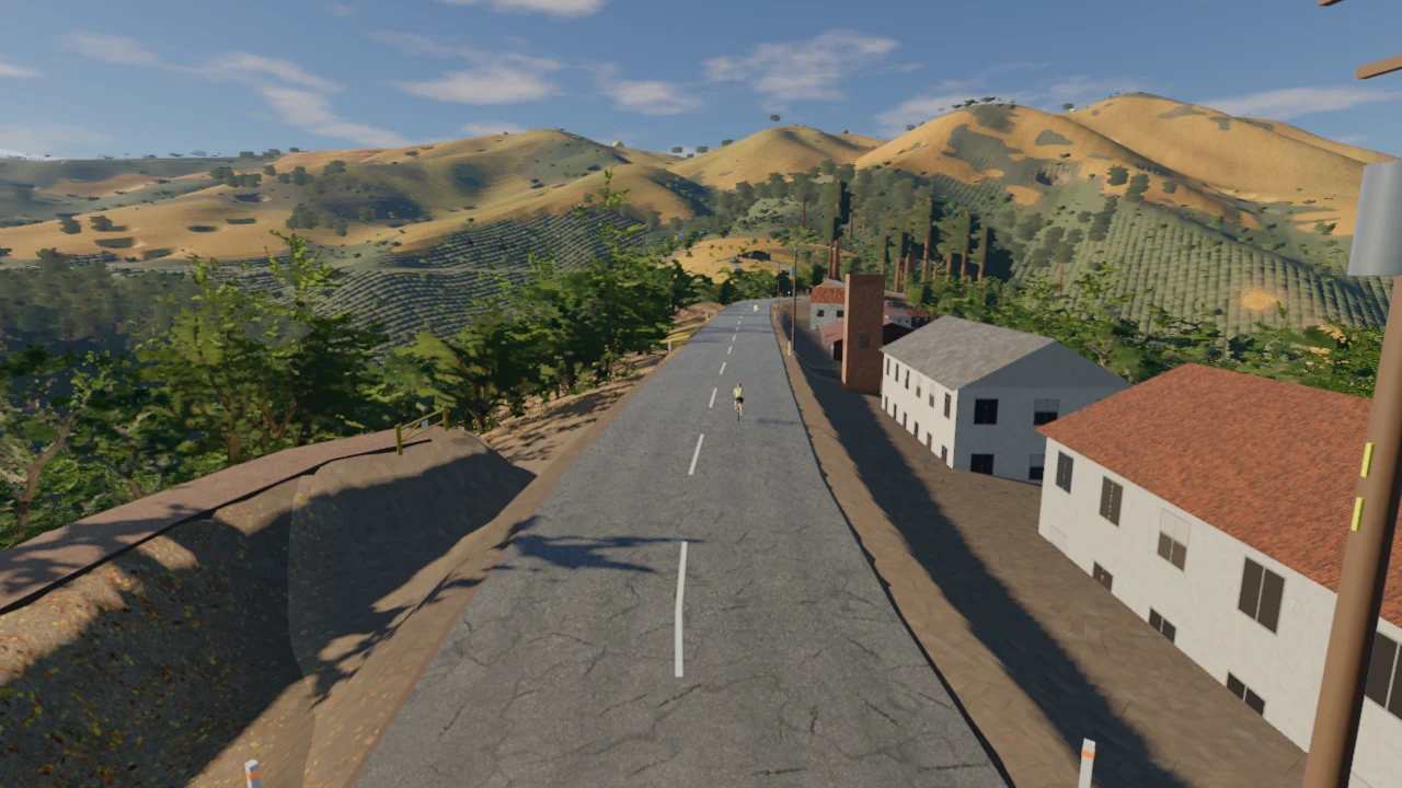
Ride Mt Tam from Mill Valley indoorsExplore the route, then ride it on your indoor trainer with Everycol.
- Distance
- 23.4 km
- Elevation gain
- 857 m
- Descent
- 167 m
- Highest point
- 754 m
Distance, climbing and elevation on this page are measured from Everycol’s simulated route. They can differ from outdoor measurements because of the mapped start and finish, route variant and elevation model.
- Start
- Mill Valley
- Finish
- Mount Tamalpais East Peak
- Lowest point
- 2 m
- Steepest gradient
- 12.3%
Riding Mt Tam from Mill Valley
Climb Mount Tamalpais indoors from Mill Valley to East Peak in Everycol. This route follows the mapped approach via Tam Junction and Panoramic Highway, continuing past Mountain Home Inn and Pantoll before the final roads to the summit.
The Mill Valley start makes this a distinct Mount Tam route. It is not a loop through Alpine Dam or a ride beginning at the Golden Gate Bridge. Its endpoint is Mount Tamalpais East Peak, with the full approach included in the distance and climbing totals.
Mill Valley to Pantoll
The itinerary leaves Mill Valley for Tam Junction and the foot of Panoramic Highway. It continues by Four Corners and Mountain Home Inn to Pantoll. These places divide the lower and middle approach into recognizable sections before the route turns toward the summit roads.
The final approach to East Peak
From Pantoll, the route continues to Rock Spring and follows East Ridgecrest Boulevard toward Mount Tamalpais East Peak. The elevation profile shows how this final section fits into the complete climb from Mill Valley. Check both total ascent and the profile rather than treating the summit height as the climbing total.
Compare Mount Tam itineraries
Choose this ride for a direct summit objective from Mill Valley. The Alpine Dam route explores a different combination of Marin roads and ridges. Golden Gate Park to Hawk Hill gives you a bridge crossing and a separate hilltop finish within the same San Francisco & Marin region.
Before you ride
Can I ride Mt Tam from Mill Valley indoors?
Yes. Create an Everycol account, open this route on a computer with Chrome or Edge, and connect your compatible Bluetooth trainer. You can free ride or follow a structured workout on the route.
Are these outdoor route measurements?
Distance, climbing and elevation on this page are measured from Everycol’s simulated route. They can differ from outdoor measurements because of the mapped start and finish, route variant and elevation model.
Can I ride with friends?
Riders who choose the same route share the road in Everycol. Pick this route together to see each other as you ride.