
Wattenberg & the Wattental
Innsbruck & Tyrol · Point to point · Mountain ascent
From Wattens past the Swarovski works up the Wattenberg road’s hairpins to the mountain farms over the Inn valley, then up the Wattental to the end of the road below Walchen.
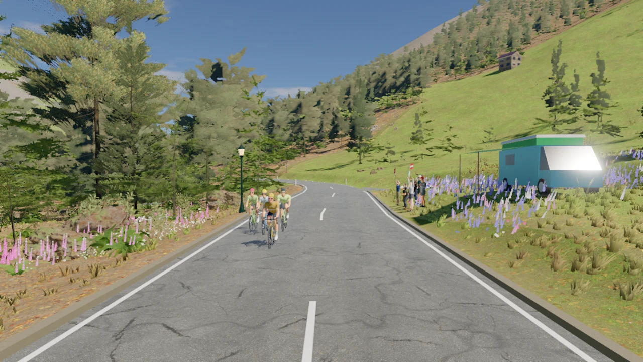
Ride Wattenberg & the Wattental indoorsExplore the route, then ride it on your indoor trainer with Everycol.
- Distance
- 11.7 km
- Elevation gain
- 841 m
- Descent
- 0 m
- Highest point
- 1,398 m
Distance, climbing and elevation on this page are measured from Everycol’s simulated route. They can differ from outdoor measurements because of the mapped start and finish, route variant and elevation model.
- Start
- Wattens
- Finish
- Wattental
- Lowest point
- 557 m
- Steepest gradient
- 17.1%
Before you ride
Can I ride Wattenberg & the Wattental indoors?
Yes. Create an Everycol account, open this route on a computer with Chrome or Edge, and connect your compatible Bluetooth trainer. You can free ride or follow a structured workout on the route.
Are these outdoor route measurements?
Distance, climbing and elevation on this page are measured from Everycol’s simulated route. They can differ from outdoor measurements because of the mapped start and finish, route variant and elevation model.
Can I ride with friends?
Riders who choose the same route share the road in Everycol. Pick this route together to see each other as you ride.